Skip to content
Home
Services
Commercial Engineering
Residential Engineering
Structural Engineering
Survey
Environmental
Soils
Due Diligence Solutions
Inspections & Reports
Recent Projects
Team
Contact
X
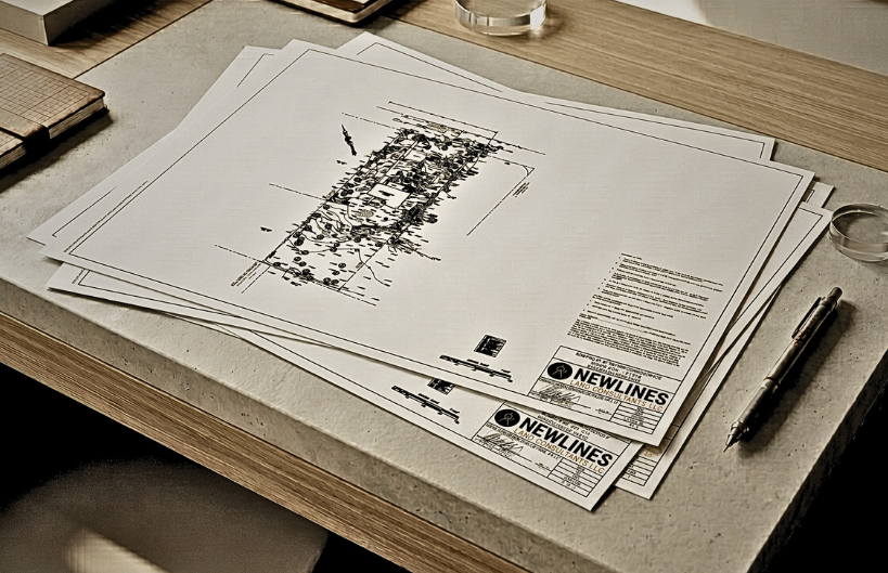
Survey
Home
Services
Survey
Overview
Title Surveys
Outbound Topographic Surveys
ALTA Surveys
Construction Layout & Stakeouts
As-Built Surveys
Zoning Reports
Elevation Certificates
Drone Surveys of Stream Corridors
Other Services
Structural Engineering
Inspections & Reports
Residential Engineering
Commercial Engineering
Soils
Environmental
Survey
Due Diligence Solutions
Transform Your Ideas into Reality
At Newlines, we turn concepts into carefully planned and professionally executed solutions.
Contact Us Now